Dundrum Castle, County Down.

Thought to have been built around 1177, Dundrum Castle was part of the coastal defences controlling land routes from Drogheda to Downpatrick. Its just up a hill from the village centre of Dundrum and access is free (which is always great).  Dundrum is on the main road to Newcastle and if you wanted to kill two birds with one stone it has a decent car boot sale on Sundays but its better when the weather is good (summer being best of course).

dundrum castle (29)

On the morning I arrived there was a pretty thick fog hanging over Dundrum Bay below the castle, but because it sits on a hill you could actually see over the top of the fog. You can see the town church spire poking up through the mist here.

Parts of the castle ruins look more like parts of an old house but I think there were numerous additions to the original castle down the centuries.  As the fog started to burn off I got some nice pictures of the place.

The tower set at the back of the castle grounds. The second picture shows the view through one of the windows of the tower over Dundrum Bay below.

dundrum castle (24)

The castle wall remains.

dundrum castle (58)

There are some woods to the left hand side of the castle (known as Castle Woods) that have a nice walking trail through them (seen just behind the fence here). The woods were planted nearly 200yrs ago and some information on them can be found here if youre interested: http://www.walkni.com/walks/382/dundrum-castle-woods-trail/ I had a great little morning (which as you can see turned out really beautiful) and an early visit like this (my first time) was certainly worth the trip.


Port Moon, County Antrim, Causeway Coast

A while ago I posted some pictures taken at Dunseverick Grasslands which involved climbing over the wall at the Dunseverick Castle layby and walking right around the headland there. Its a truly stunning walk and one thats hidden from the road so it can only be accessed on foot. There is another walk in the opposite direction however which is just as amazing towards a magical little bay called Port Moon.

moon-1

Port Moon has a long history of fishing going back well over 200 years and from 1830 nets were attached to the rocks offshore to catch Atlantic salmon on their journey to the river Bush for spawning. Crabs, lobsters and kelp were also harvested here.

moon-2

One of the crags jutting out into the sea on the walk to Port Moon, clearly showing the hexagonal columns which cover this area very close to the Giants Causeway (less than 5mls away).

moon-3 moon-4

Your first views of the little “Fish House” bothy seen from several hundred feet above Port Moon bay (and yes, you can climb down there if youre brave enough).

moon-6 moon-5

The surrounding area is simply stunning.

moon-7

After climbing down the looping path to the bottom of the cliff (it looks much more scary than it actually is, but be careful if its been raining as it can be slippery) you arrive at the old Fish house which now operates as a bothy (a small hut or cottage used as a refuge) which you can arrange to stay at if youre feeling adventurous (see here: http://www.canoeni.com/canoe-trails/north-coast-sea-kayak-trail/access-point/port-moon/ ). The building used to house all fishing operations at Port Moon but had fallen into disrepair until it was resurrected as a bothy in 2011. There are some pictures of the inside here https://www.hikersblog.co.uk/an-overnight-stay-in-port-moon-bothy/ but normally its locked.

moon-9 moon-8

Looking out across the bay from the Port Moon shore. Not bad for a wintery February morning!

moon-10

The bothy seen from the opposite side of the crescent shaped (moon shaped) bay.

moon-11 moon-12

Port Moon, a magical little place now deserted and haunted by the ghosts of its fishing past. Its really worth seeing and its very much an undiscovered gem of NI that most residents wont even have seen. Dunseverick Castle may not be much to look at but once over that wall and walking either left or right youll surely be impressed.


Bangor Castle, Bangor, County Down.

Bangor Castle was built for the Hon Robert Edward Ward and his family in 1852. It is presently the headquarters of North Down Borough Council who use the mansions spectacular grand salon as the council chamber. The building is situated in the grounds of Castle Park alongside North Down Museum and is just a short walk from Bangors Walled Garden.

DSC06998

The castle can be hired reasonably cheaply for wedding services and is a popular venue for those seeking a non-religious event.

DSC06985.JPG

Picture taken Christmas 2015 (spot the tree).

DSC06983 DSC06992

DSC06991

Bangor Castle overlooks the town of Bangor and its really worth having a walk around it and Castle Park behind. The walled garden (about ten minutes walk away) has just been used in the brand new film by Ben Wheatley called High Rise.


Kinbane Castle, Ballycastle, County Antrim

Kinbane Castle isnt really a place many seem to know about here, even though it lies between Ballintoy and Ballycastle and is quite well signposted from the main road. We had never stopped here before ourselves and we really didn’t expect much as we pulled into the car park but all I can say is… wow!….. once you discover what this place looks like I reckon you’ll be back. The area is stunning and we were kinda ashamed that some American and German tourists were already here (when we arrived) given we had never even seen the place. Not too much is known about Kinbane, but it didnt last very long after being constructed it seems. The castle was built by Colla of the MacDonnell clan, the clan who also built many other castles and buildings in the area including Dunluce and Dunseverick. The English laid siege to it within a few years of its completion in 1551 as they were getting a bit concerned about the strength of the ruling MacDonnell Clan (and their friendly connections with Scotland just across the water), but the castle prevailed at this point. Another attack took place in 1555 however where the castle was partly destroyed by cannon fire but it was rebuilt afterwards.  The hollow below the castle is known as Lag na Sassenach (Hollow of the English) and it was allegedly during the 16th century that a garrison of English soldiers laying siege to the castle were surrounded and massacred. Fires lit on the headland as calls for assistance were answered by clansmen who came from all directions and surrounded the garrison rolling rocks onto the English below crushing their advances. Game of Thrones for real eh?

kinbane (5) kinbane (12)

Hopefully you can read the information on the 1st picture here (click for large high def) and this second photo is your 1st glimpse of the castle.

kinbane (1) kinbane (26) kinbane (27)

When you arrive at the castle car park you’re pretty high up, and the surrounding area and views are just amazing. Just look at those cliffs (and the beautiful June weather). Thats Fair Head in the distance btw.

kinbane (28) kinbane (36) kinbane (32)

The view of the castle taken from about halfway down the descent to sea level, and when you reach the bottom you’ll come to another sign with more information and a further sign warning of your possible doom haha (erm, and I wouldn’t take it lightly either, if you’re going out to the end of the headland be very careful!)

kinbane (58) kinbane (63) kinbane (34) kinbane (37)

A stunning location for a castle though it was placed here (of course) for strategic reasons. The second picture was taken from inside the tower looking out, and the third picture is of one of the remaining “gun loops” – ie. where they placed the huge cannons (you can see some of the steps down to the castle in the last picture).

kinbane (16) kinbane (23)

Just below the castle are the ruins of what looks like some old fishery, Im not sure of the history of this, but I expect its a few hundred years old rather than several (like the castle). It provides a nice backdrop to the area however.

kinbane (45) kinbane (56) kinbane (69)

The first two of these pictures were taken from the cliff top behind the castle and in the first one (if you look closely towards the right) you might be able to see some people standing beside the old fishery shown in the pictures above. This will give you a sense of the scale of the place and the heights involved. The people in the second picture are sitting right at the very tip/end of the precipice shown on the third pic. Honestly, this is only for the brave and likely very dangerous in Winter!

kinbane (67)

Kinbane Castle, still projecting its dominance 500yrs later. You really should visit here.

Cave Hill, Cavehill, Belfast, County Antrim

Cave Hill, sometimes spelt as Cavehill, is a basaltic hill overlooking the city of Belfast. It forms part of the southeastern border of the Antrim Plateau. Historically it was known as Ben Madigan, which is derived from the Irish Beann Mhadagáin, meaning “Madagán’s peak”—so named after a king of Ulster called Madagán who died in 856AD.

All of Belfast can be seen from its peak and Cave Hill is thought to be the inspiration for Jonathan Swift’s Gulliver’s Travels as Swift imagined that Cave Hill resembled the shape of a sleeping giant safeguarding the city.

cave hill belfast (1) cave hill belfast (2)

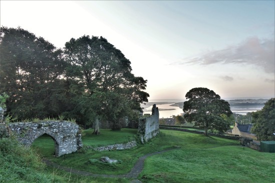
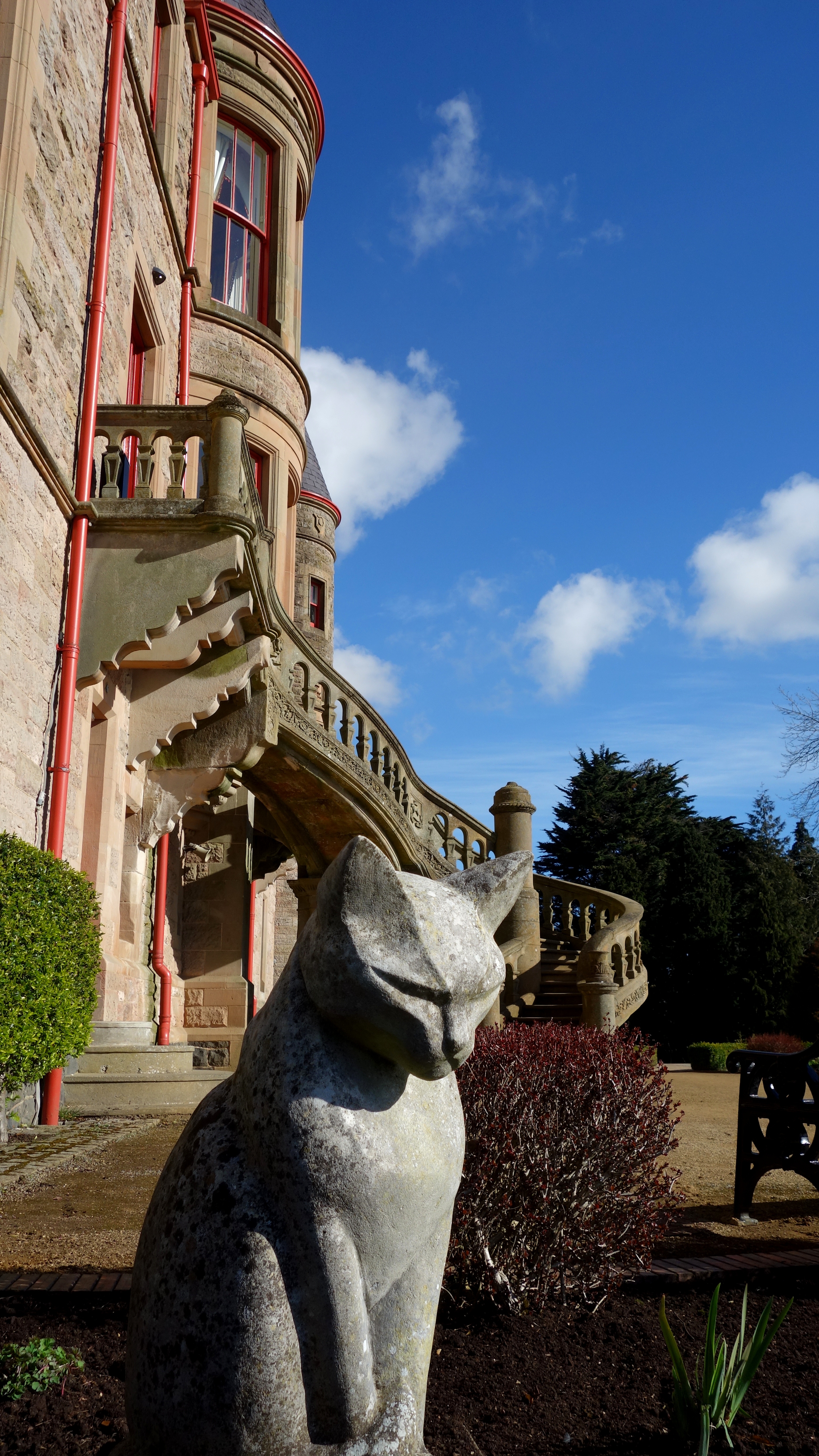
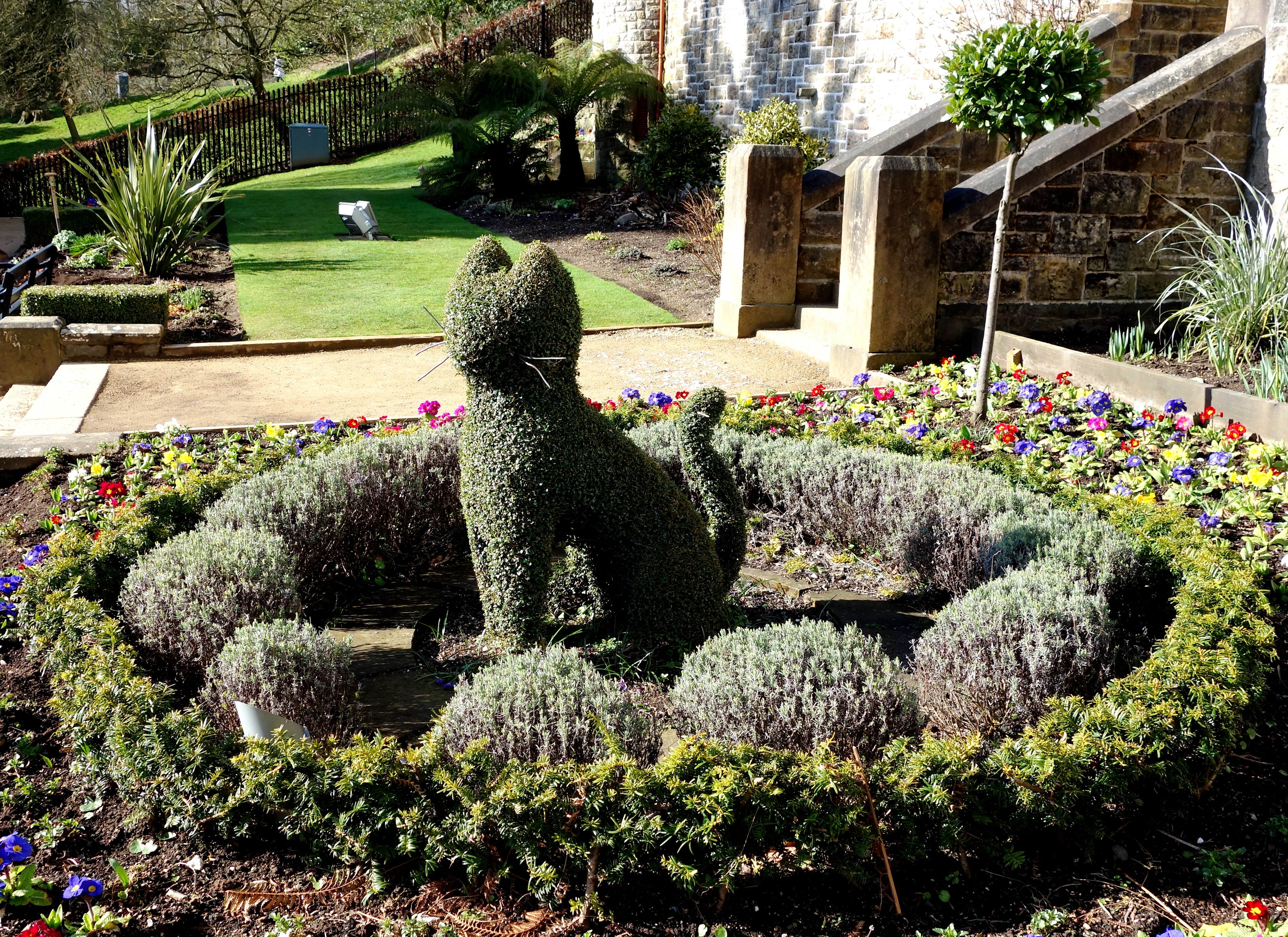
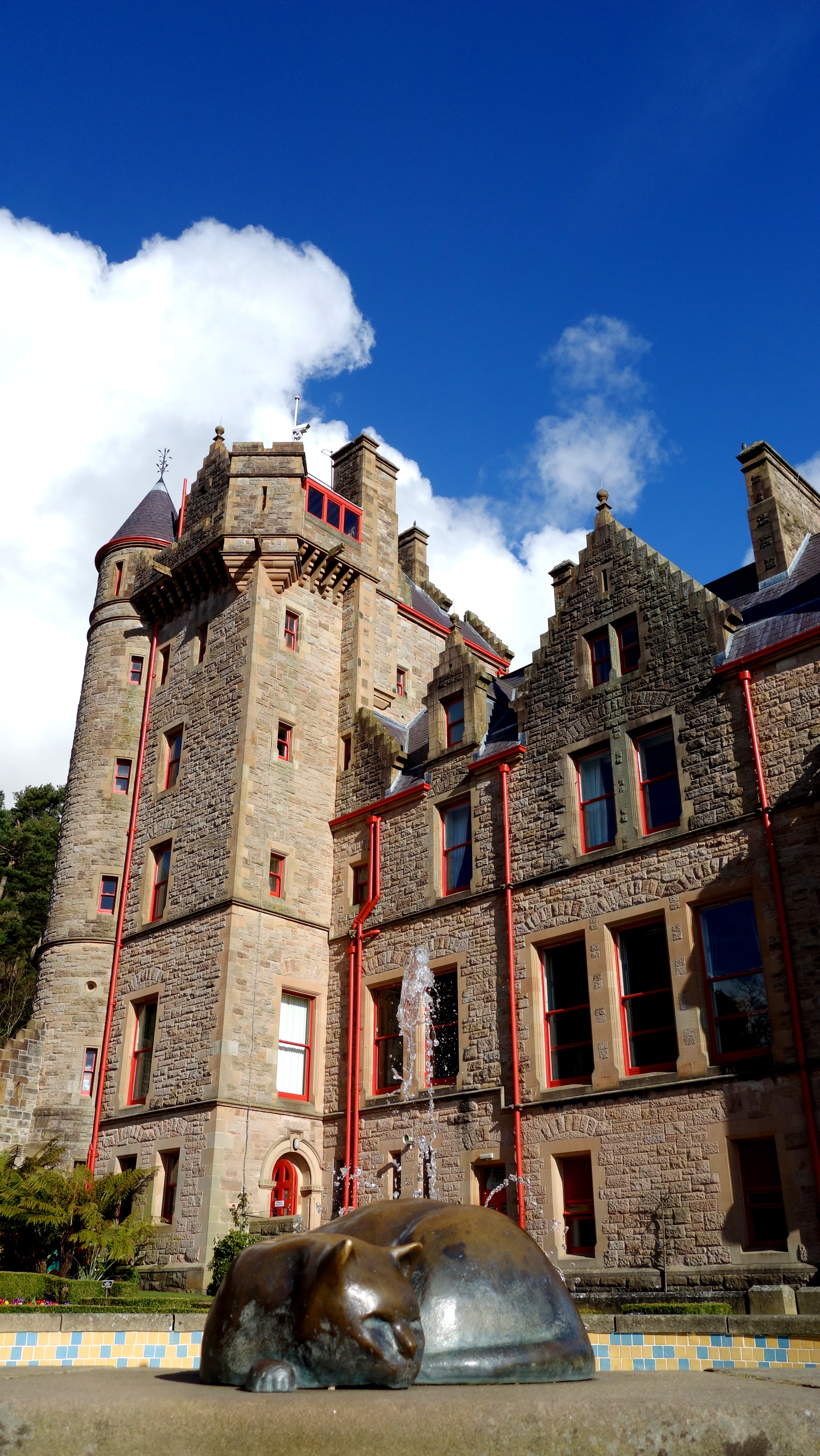
Cave Hill rises to almost 370 metres (1200 ft) above sea level. Most of its lower east side lies on the Belfast Castle estate. The slopes of Cave Hill were originally used as farmland but, from the 1880s, a major planting exercise was undertaken, producing the now familiar deciduous and coniferous woodland landscape. Belfast Castle estate was given to the City of Belfast by The 9th Earl of Shaftesbury in 1934.

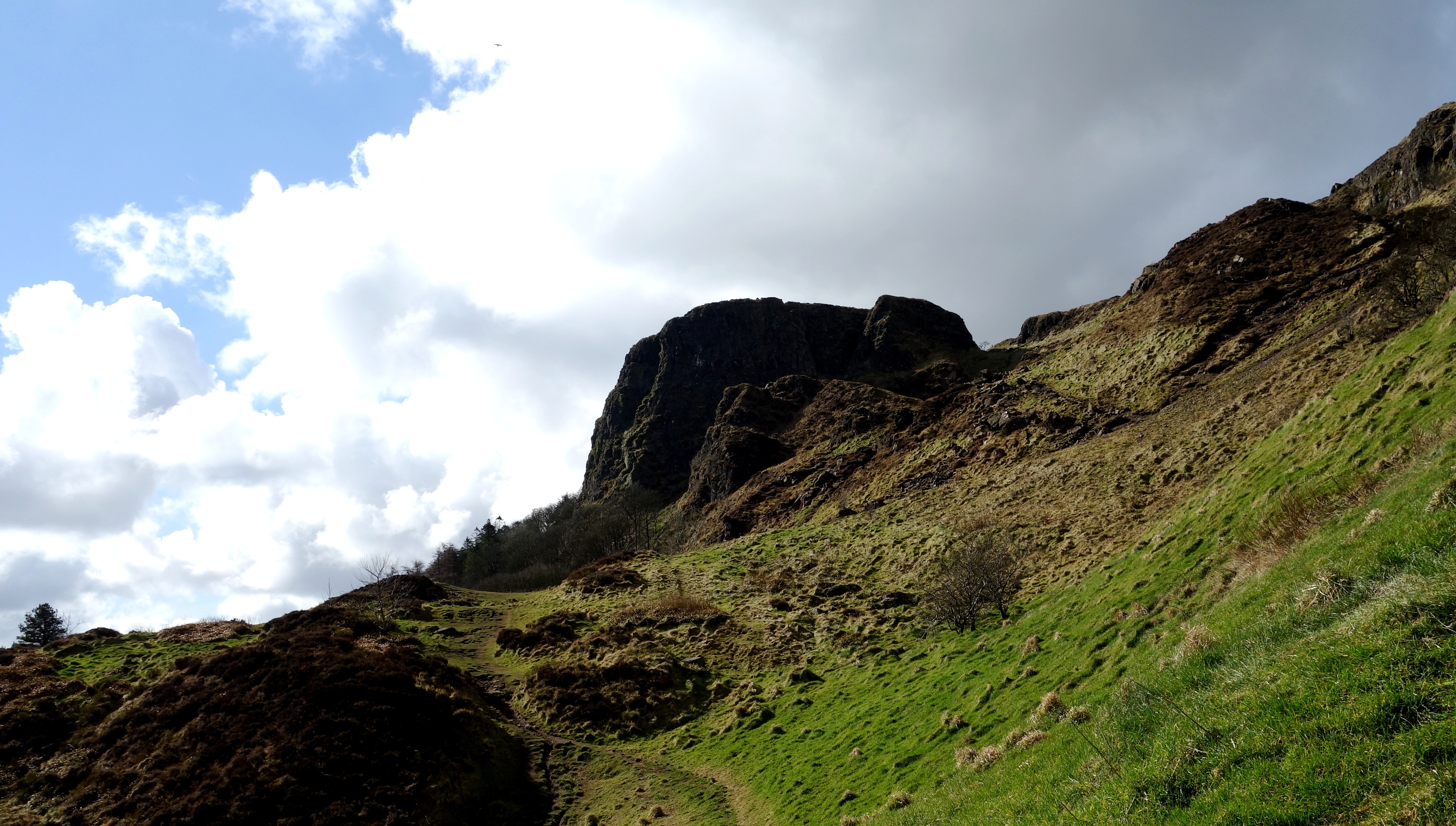
There are three large caves. The lowest is 21 feet long, 18 feet wide and varies from 7 to 10 feet in height. Above this is another cave; 10 feet long, 7 feet wide and 6 feet in height. Above this is the third major cave, said to be divided into 2 unequal parts, each of which is more extensive than the larger of the other caves, but the ascent is notoriously dangerous and thus few venture up to it. The caves are entirely man-made, and it is thought that they were originally excavated for iron-mining.

cave hill belfast (3) cave hill belfast (5)

This is the easiest cave to access and the most easily visible from below. The climb up to this point (from the grounds of Belfast Castle) is probably the most tiresome part of the Cave Hill climb but its not beyond most peoples ability. Bring some water if you’re going up in the warmer months (and a coat in the colder ones!).

cave hill belfast (6)

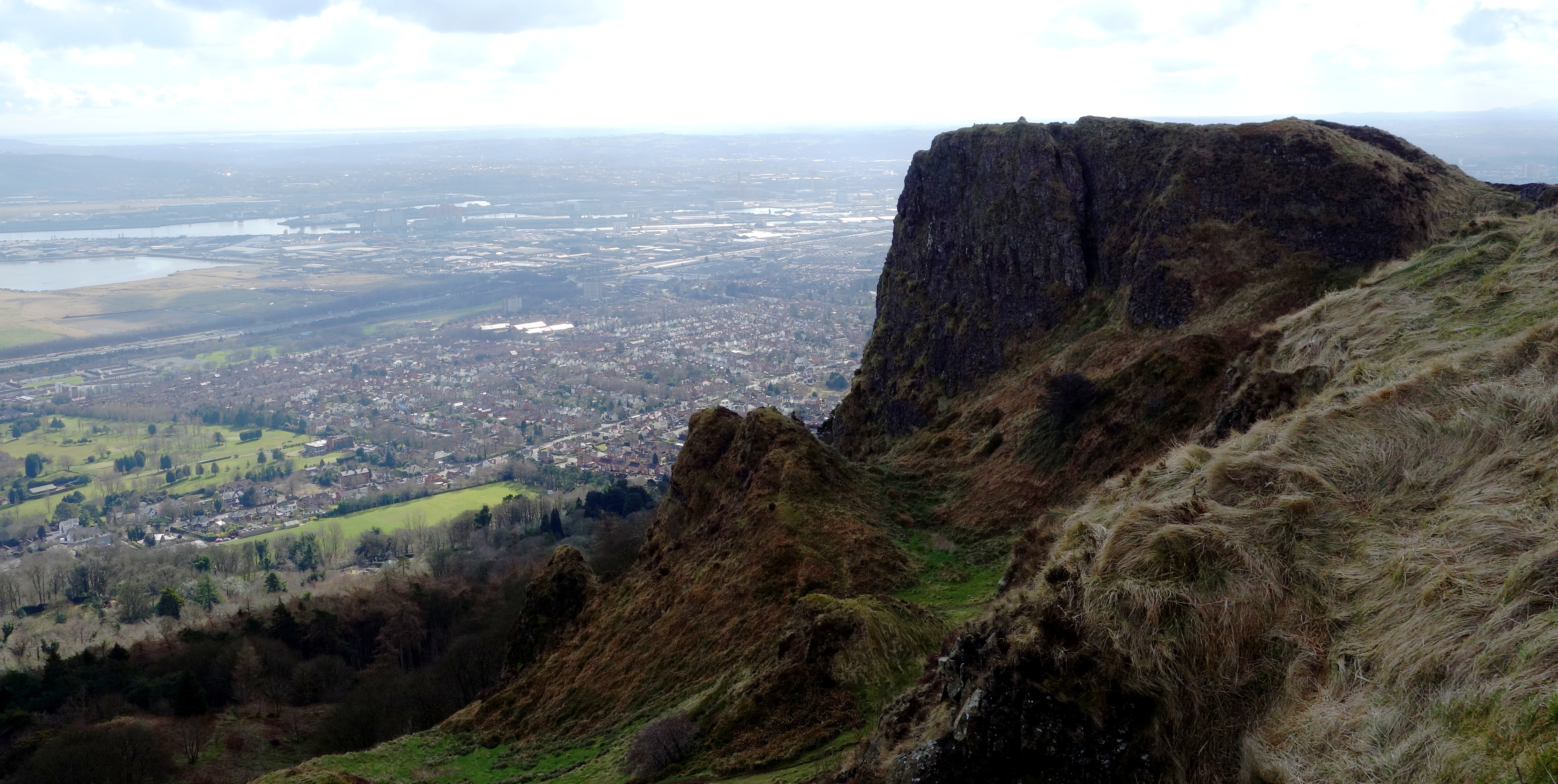
The views from the top are pretty amazing with one side of the water being County Antrim, and the other County Down. You can see all of Belfast Lough and the ship here is the Stenaline service heading for Scotland (the vague shadow on the horizon). The chimney to the distant left of the picture is Kilroot power station which provides electricity for one third of Northern Ireland, and in the bottom foreground of the picture you can see Belfast Zoo (the brown bear cage I think).

cave hill belfast (15) cave hill belfast (9) cave hill belfast (12)

McArt’s Fort on the summit of the hill, is an example of an old ráth or ring fort. It is protected on one side by a precipice and on the others by a single ditch, 10 feet in depth and 25 feet in width. The enclosed area is nearly level. The flat top of the fort is 150 feet from north to south, and 180 feet from east to west. It is believed that the fort’s inhabitants used the caves to store food for the winter and may have served as a refuge during times of attack. If you look towards the bottom of the last picture you can see a cave there.

cave hill belfast (4) cave hill belfast (8) cave hill belfast (7)

Its certainly a nice trip out here as you get to explore the castle grounds before your climb (even entertain the kids with its adventure playground too) and to have a bit of wilderness so close to a city is pretty unique. Who would have thought, that even in March (and NI) you can get out and enjoy the countryside 🙂

cave hill belfast (11)

The residential neighbourhood at the foot of Cave Hill’s entrance is derivatively known as Ben Madigan, with street names to match, and is a wealthy semi-outer city, semi-suburban area. The name ‘Ben Madigan’ can also be found attached to buildings, schools etc. close to the area, e.g. the Belfast Royal Academy has the Ben Madigan Preparatory School on the Antrim Road.

During World War II, a bomb dropped during a German bombing raid on Belfast exploded, causing a large crater near the grounds of Belfast Castle. It is understood that RAF Bomber Command was situated on Cave Hill in the early years of WWII before relocating to Castle Archdale in County Fermanagh. On 1 June 1944, an American Air Force B-17 bomber crashed into Cave Hill during heavy fog, killing all ten crew instantly. The incident inspired Richard Attenborough’s film, “Closing the Ring” and some scenes of the film were shot on Cave Hill.

cave hill belfast (13) cave hill belfast (14)

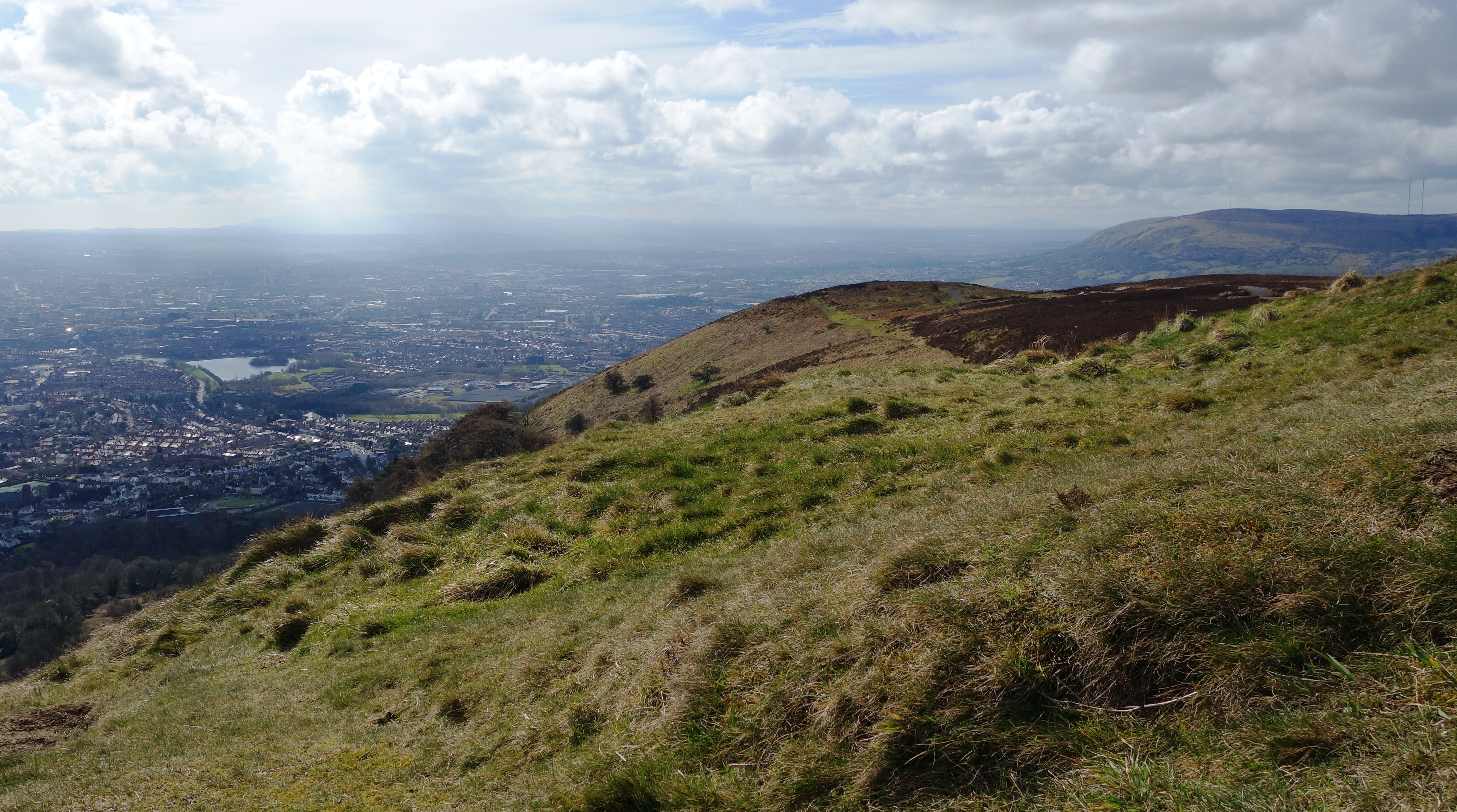
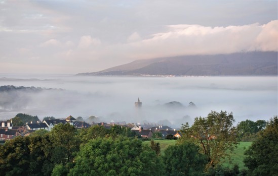
One for you cloud spotters, and the rolling Belfast hill walkers.

Belfast Castle, Belfast, County Antrim. March 2015

I initially intended to have a joint post between Belfast Castle & Cave Hill (given they’re effectively joined at the hip) but we took just too many great photos that day so I’m putting them up on separate posts instead (Cave hill next).

Belfast Castle is set 400 feet above sea level on the slopes of Cave Hill overlooking the city of Belfast, in many ways its more of a grand house than an actual castle in my opinion. It was built in a Scottish baronial style with the main part of the building set over two floors and having semi circular round towers at the corners. Outside the castle has a sweeping stone staircase overlooking the formal gardens and park.

Belfast Castle is open to the public daily with a visitor centre, antiques shop and restaurant, for families the castle even has its own adventure playground. The castle can host both wedding receptions and civil ceremonies in one of its private rooms (we saw a young couple getting their instructions on the day we were there).

The original Belfast Castle was built in the city centre by the Normans in the 12th century and was home to the Baron of Belfast, Sir Arthur Chichester, who later became the Marquess of Donegal. The castle was burned down in 1708 and rather than rebuild it on the same site it was decided to build a new castle within the deer park on Cave Hill many years later.

The new castle was almost completed in 1870 but due to the rising costs of the building and the loss of the family fortune it was unfinished. It was the Marquess’ son in law, Lord Ashley 8th Earl of Shaftsbury, who paid for the castle to be completed and inherited it in 1884.

There are amazing views from the front of the castle across the entirety of Belfast Lough and the city. And on a clear day, Scotland can clearly be seen to the east.


belfast castle march 2015 (1)

A magnificent March morning at Belfast Castle. You can see the lough in the distance.


belfast castle march 2015 (5) belfast castle march 2015 (2)

Maybe it should be renamed “Belfast Cats-le” as there are many cats dotted around the grounds. See how many you can find.


belfast castle march 2015 (3) belfast castle march 2015 (7)

You can see the lovely outdoor spiral staircase of the building on the second pic here.


belfast castle march 2015 (6) belfast castle march 2015 (4)

More cats (I think my focus went off target for the little brass guy oops).


belfast castle march 2015 (9) belfast castle march 2015 (10) belfast castle march 2015 (12)

And even more cats! Make sure you look under your feet too as there are mosaic pictures on the floor. The little cat at the red door has been placed in remembrance for  Audrey Beggs “A Cat Lover” and the plaque here tells the tale of the good luck of the white Castle Cat. Miaow!


belfast castle march 2015 (8) belfast castle march 2015 (13)

Relections on a castle window, and…. do you see the cloud haha? Its not been doctored in any way, and given the castle is used very regularly for weddings, imagine capturing THAT behind you in your wedding photos? 🙂

Dunseverick Castle, County Antrim.

Dunseverick Castle is situated in County Antrim, near the small village of Dunseverick and close to the Giant’s Causeway. From the small car park at the side of the road (where you initially view the remains of the castle), it actually doesn’t look like much until you climb over the wall (stile provided) and follow the path there to sea level (you can go down both sides of the wall).

Saint Patrick is recorded as having visited Dunseverick castle in the 5th century AD, where he baptized Olcán, a local man who later became a Bishop of Ireland. The original stone fort that occupied the position was attacked by Viking raiders in 870 AD.

In the later part of the 6th century AD, this was the seat of Fergus Mor MacEirc (Fergus the Great). Fergus was King of Dalriada and great-uncle of the High King of Ireland, Muirceartaigh (Murtagh) MacEirc. It is the AD 500 departure point from Ireland of the Lia Fail or coronation stone. Murtagh loaned it to Fergus for the latter’s coronation in western Scotland part of which Fergus had settled as his sea-kingdom expanded.

The O’Cahan family held it from circa 1000 AD to circa 1320 AD, then regained it in the mid 16th century. The castle was captured and destroyed by General Robert Munro in 1642 and his Cromwellian troops in the 1650s, and today only the ruins of the gatelodge remain. A small residential tower survived until 1978 when it eventually fell into the sea below.

It was a ‘key’ ancient site in Ireland. All photos were taken just a few days ago by me on Jan 27th 2015.


DUNSEVERICK CASTLE CO.ANTRIM N (1)

One of our lesser known castles, but Dunseverick hides some truly stunning coastline behind its prominence.


DUNSEVERIK CASTLE CO.ANTRIM N (2)

Like an ancient, ocean liner, encased in stone, the castle sits on top of a huge cliff.


DUNSEVERIK CASTLE CO.ANTRIM N (3)

From below (at sea level) it looks much more impressive.


DUNSEVERIK CASTLE CO.ANTRIM N (4)

All that remains is the ruins of the old gatehouse.


DUNSEVERIK CASTLE CO.ANTRIM N (5)

Just like Mussenden Temple, its the view behind the castle ruins that really impresses however.


DUNSEVERIK CASTLE CO.ANTRIM N (6)

Looking the opposite direction up the coast.


DUNSEVERIK CASTLE CO.ANTRIM N (7)

I want to live in that little cottage in the distance.


DUNSEVERIK CASTLE CO.ANTRIM N (8)

Dunseverick Castle January 2015. Its not hard to see why shows like Game of Thrones continually comes back to NI to film with scenery like this everywhere.

Castlewellan Forest Park, Peace Maze, and Lake, Co.Down, Northern Ireland

Northern Irelands largest forest park, Tollymore (in Newcastle), usually gets most of the interest from our forest hungry visitors, but just a short drive away lies Castlewellan Forest Park, which has a beauty all of its own. In fact the facilities here in Castlewellan easily match its larger brother, and coupled with a huge maze, several lakes, two cafes, and a brilliant bike hire office, make it well worth checking out. Our visit on the 28th December 2014 showed the park to be surprisingly busy, which was great to see in (what was) the depths of Winter. I hope the photos we took entice others to come here too. You’ll love it. 

CASTLEWELLAN CASTLE

CASTLEWELLAN 28.12 (2) CASTLEWELLAN 28.12 (1) CASTLEWELLAN 28.12 (23) CASTLEWELLAN 28.12 (19)

The dominant feature of the forest park, Castlewellan Castle was built in 1856 by William Richard Annesley, it overlooks the huge lake below and can be seen as soon as you enter the park. Today it is a center for many church, and school organizations. There are signs to say the immediate area around the castle is private, but we had no issues walking around its grounds to take some photos. Theres a little black cat who comes out to say hello too. Miaow.

CASTLEWELLAN LAKE

CASTLEWELLAN 28.12 (3) CASTLEWELLAN 28.12 (9) CASTLEWELLAN 28.12 (12) CASTLEWELLAN 28.12 (11) CASTLEWELLAN 28.12 (10) CASTLEWELLAN 28.12 (5) CASTLEWELLAN 28.12 (4) CASTLEWELLAN 28.12 (6)

On this lovely, frost glistening, December morning we had so many great photo opportunities and began snapping away frantically. The largest lake in the park is nearly one mile long, and there’s a fantastic circular path around its shore taking in much of the forest along the way. The route is a big hit with cyclists and there’s even a place to hire bikes if you don’t have one. The distance around the lake is about 2.4miles but its a very easy (and enjoyable) trek. The lake can also be fished. For more info see here: http://www.walkni.com/walks/222/castlewellan-forest-park-lakeside-walk/

ANNESLEY GARDENS (WITHIN THE PARK)

CASTLEWELLAN 28.12 (14) CASTLEWELLAN 28.12 (13) CASTLEWELLAN 28.12 (15) CASTLEWELLAN 28.12 (16) CASTLEWELLAN 28.12 (17) CASTLEWELLAN 28.12 (18) CASTLEWELLAN 28.12 (8) CASTLEWELLAN 28.12 (7)

To access Castlewellan Forest Park you pay just £4.50 per car which is pretty good as it doesn’t matter how many are in your car. Once parked your entrance fee includes all the walks and the gardens which are wonderful in Winter but must be even nicer in the other three milder seasons of the year.

The planting of the walled Annesley garden, the focus of the arboretum, began in the 1850s and rare conifers and maples were later imported directly from Japan. Then came the addition of more rich varieties, including Chilean eucryphias, Australian athrotaxis and pittosporum and Chinese rhododendrons. The arboretum holds many trees with record heights in the British Isles (see one of the monsters above!).

THE PEACE MAZE

CASTLEWELLAN 28.12 (20) CASTLEWELLAN 28.12 (22)

CASTLEWELLAN 28.12 (21)

The “Peace Maze” was opened in 2000 and while you may think its nothing more than a quaint curiosity on entering you’re going to be in for a shock. This is one of the worlds largest permanent hedge mazes (it was the largest in the world until 2007 when it was beaten, only slightly, by a maze in Hawaii) and it really will offer a challenge to those without a pigeons sense of direction. The maze covers 3 acres and has 2.18 miles of pathway (the one in Hawaii has 2.46) and upon reaching the center there is a bell you can ring which is said to be the most rung bell in Ireland with half a million rings a year. When you visit the park make sure you go inside and see if you can find your way to the center (on top of the footbridge). Good luck! You’ll need it. The panaoramic picture above shows Castlewellan town, the Mourne Mountains, and a small part of the maze.

For more info on this great forest park see here: http://www.discovernorthernireland.com/Castlewellan-Forest-Park-and-Peace-Maze-Castlewellan-P2881